Gallery
Here are all of the projects I have been involved in so far in my professional career. There are Geographic Information Systems projects, pictures from assisting in field research, as well as promotional material I have made for California State Parks Interpretation and Education Department.
GIS Work
Most of these projects were made for the courses in the GIS Technician Certificate at SDCCD’s Mesa College, though some are published works from my undergrad at the University of California, Los Angeles.
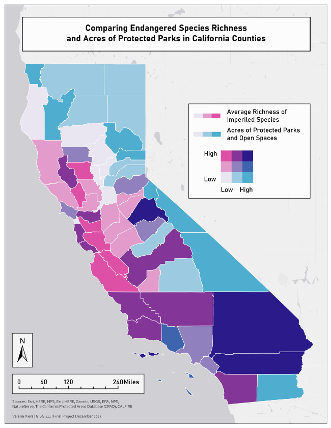
Comparing Endangered Species Richness and Acres of Protected Parks in California State Parks
Mesa College | GISG 111 Final Project
The goal of this project was to create a bi-variate map and implement normalization when appropriate. In this project, I made use of analysis tools such as Dissolve Pairwise, Summary Statistics, and other tools such as Raster to Polygon, Feature Class to Feature Class, and the Intersect tool.
While creating this project, I learned how to normalize data to display results more fairly, as well as learned how to use symbolization to create a better visual-comprehension experience.
Keywords: Chloropleth Map, Endangered Species, Bi-variate Map, Statistics, Data Normalizing
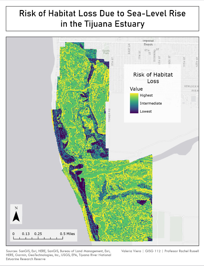
Risk of Habitat Loss Due to Sea-Level Rise in the Tijuana Estuary
Mesa College | GISG 112 Final Project
The goal of this project was to create a risk assessment or site-suitability map. In this project, I used analysis tools such as Buffer, Union, Reclassify, Aspect, Slope, Raster Calculator, and other tools like Covert LAS, and LAS to Raster.
While creating this project I learned how to work with LIDAR imagery, how to convert said imagery into rasters, and how to work with raster DEM layers.
Keywords: Risk Assessment, Coastal Salt Marsh, Sea-Level Rise, Raster Data, LIDAR Imagery, Slope Tool, Aspect Tool, Hydrology Analysis
Canidae Presence in California Least Tern Habitat
Mesa College | GISG 110 Final Project
The goal for this project was to create a research poster while utilizing a geoprocessing tool. In this project, I used geoprocessing tools such as Clip, Buffer, and other tools such as Table to Table, and XY Table to Point.
While creating this project, I learned how to use basic geoprocessing tools, how to display X,Y coordinate points on a map, and how to change symbology (this was one of my first projects on ArcGIS Pro).
Keywords: Research Poster, Endangered Species, Habitat Competition, XY Table to Point Tool, Buffer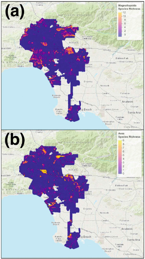
Constructing Ecological Indices for Urban Environments Using Species Distribution Models
UCLA | IoES Senior Practicum
The goal of the senior practicum project was to create a solution for a partner organization using ArcMap. For my project, our partner organization was the Los Angeles Sanitation Department, who were interested in assessing biodiveristy hotspots within the city of Los Angeles. My group and I created ecological indices that display the highest amount of biodiversity based on citizen data (iNaturalist).
While creating this project, I learned much on project management, basics on R coding, data conversion, and writing formal reports and papers with the intention of publishing.
Link to the published paper: https://link.springer.com/article/10.1007/s11252-022-01265-0
Keywords: Ecological Indices, Species Distribution Modeling, Maxent, Ecological Assessments, Citizen Science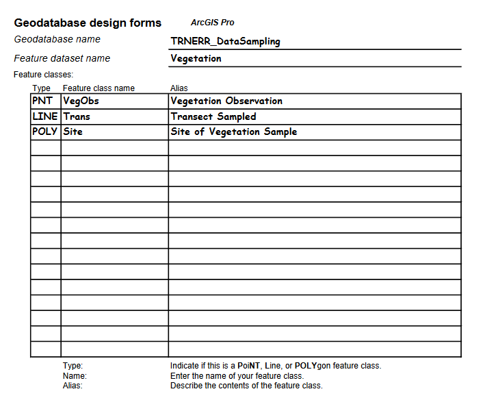
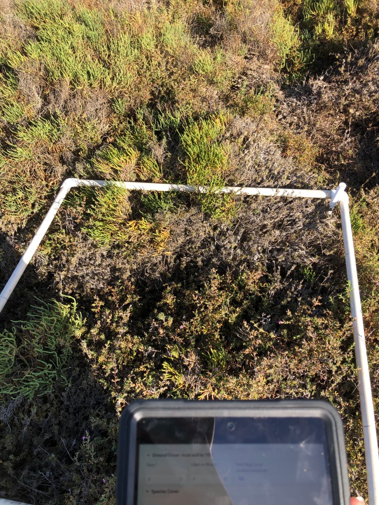
Geodatabase Design for Vegetation Data Sampling
Mesa College | GISG 114 Final Project
The goal for this project is to design and implement a geodatabase on ArcGIS Pro, while correctly using domains and subtypes.
This is still a work in progress, but so far I have learned basic geodatabase design principles such as choosing field types, domains, subtypes, coded values, ranges, defaults.
Keywords: Geodatabase Design, Vegetation Sampling, Field Research, Survey123Field Research
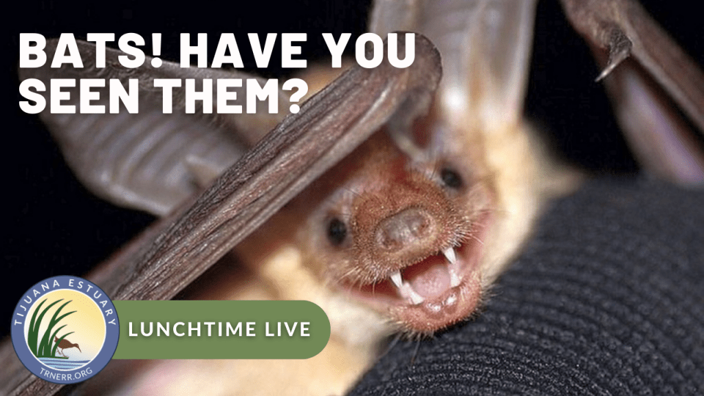
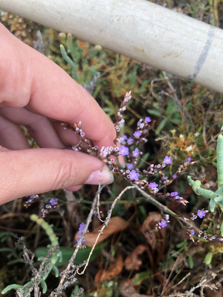
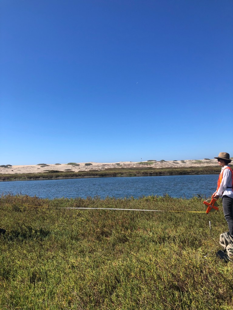
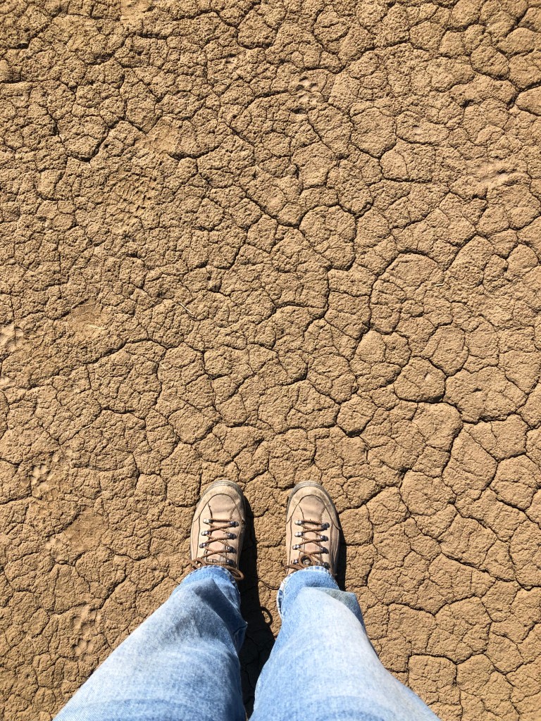
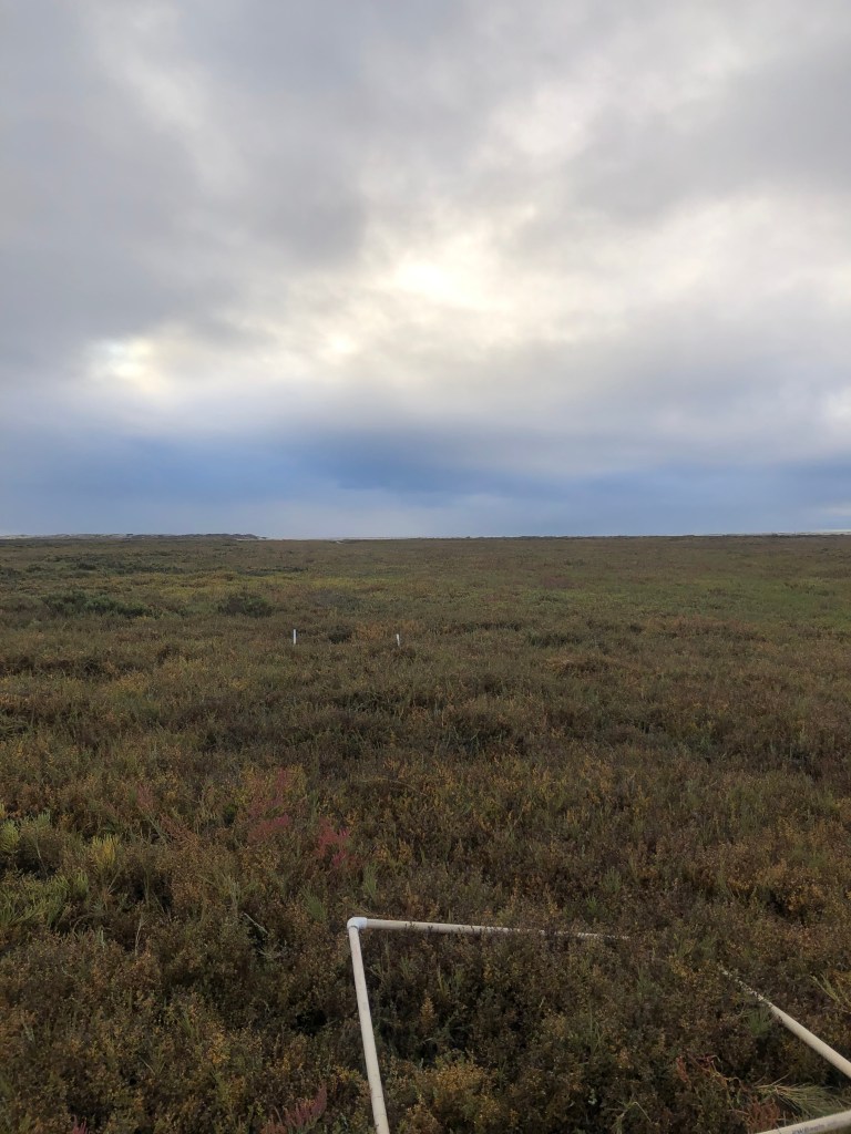
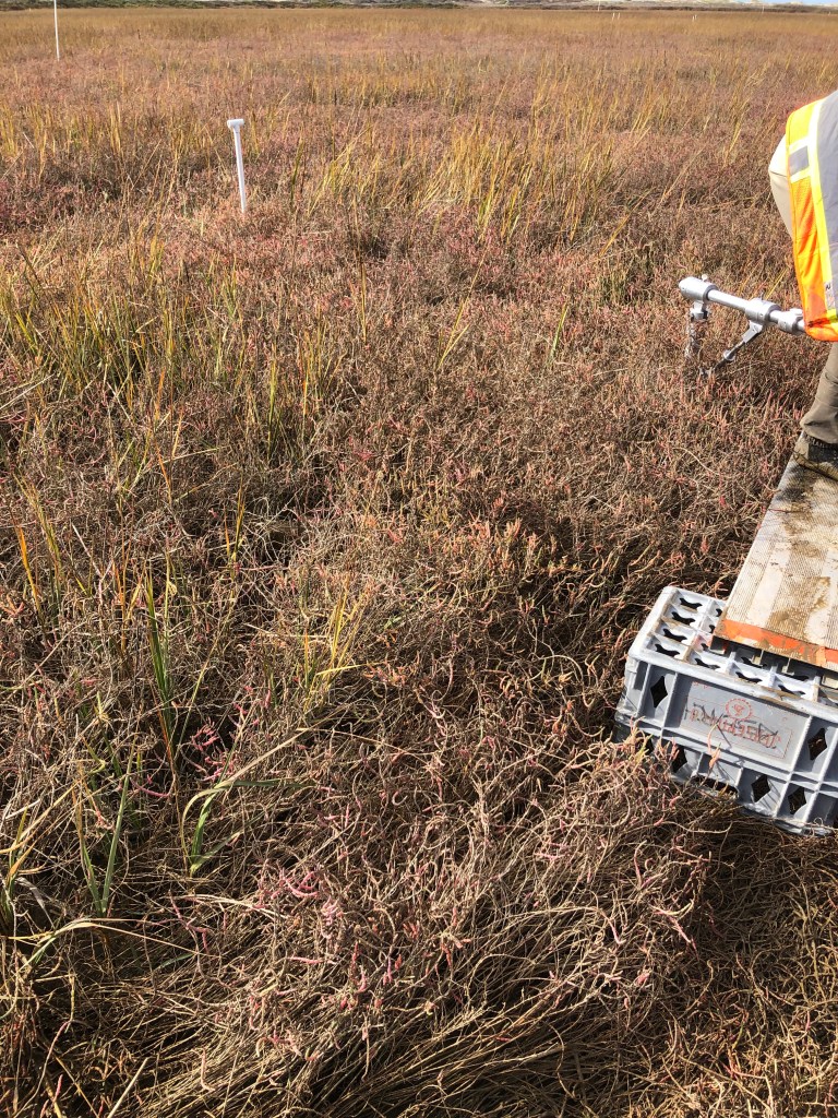
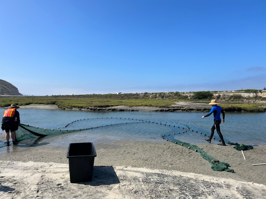
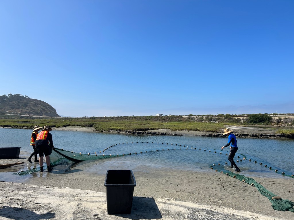
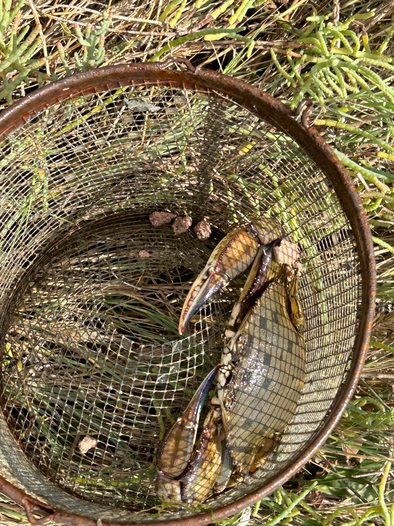
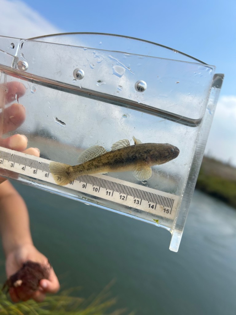
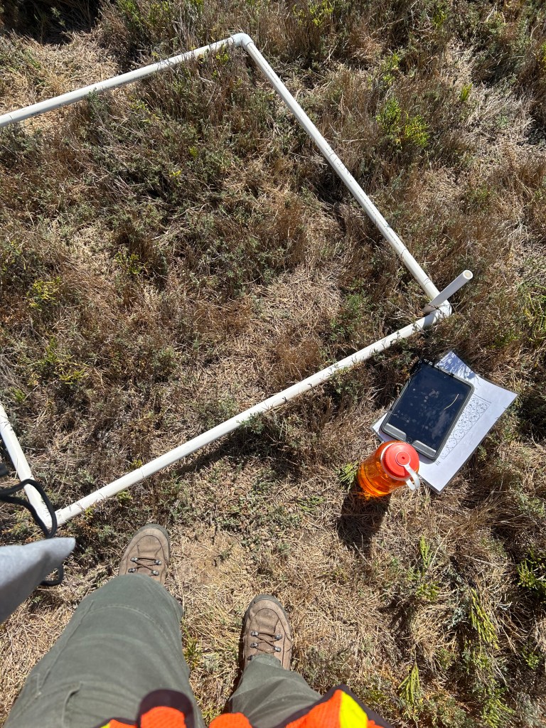
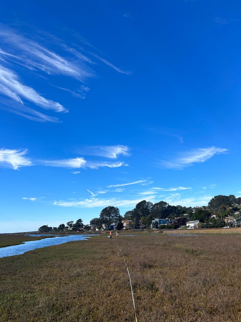
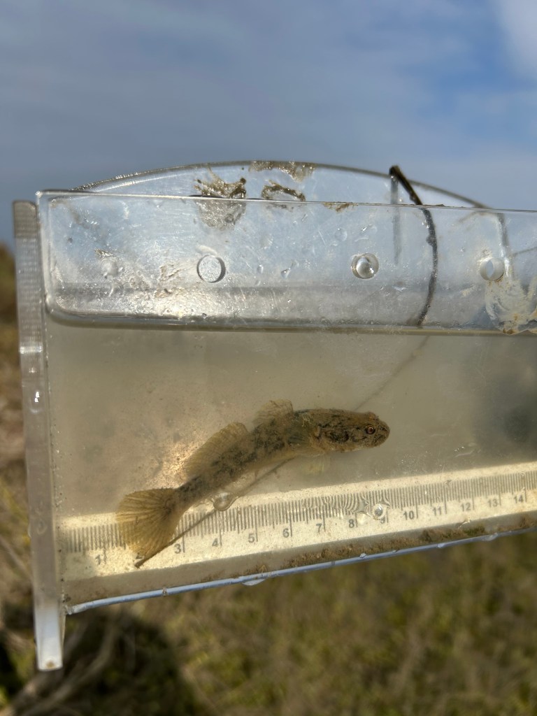
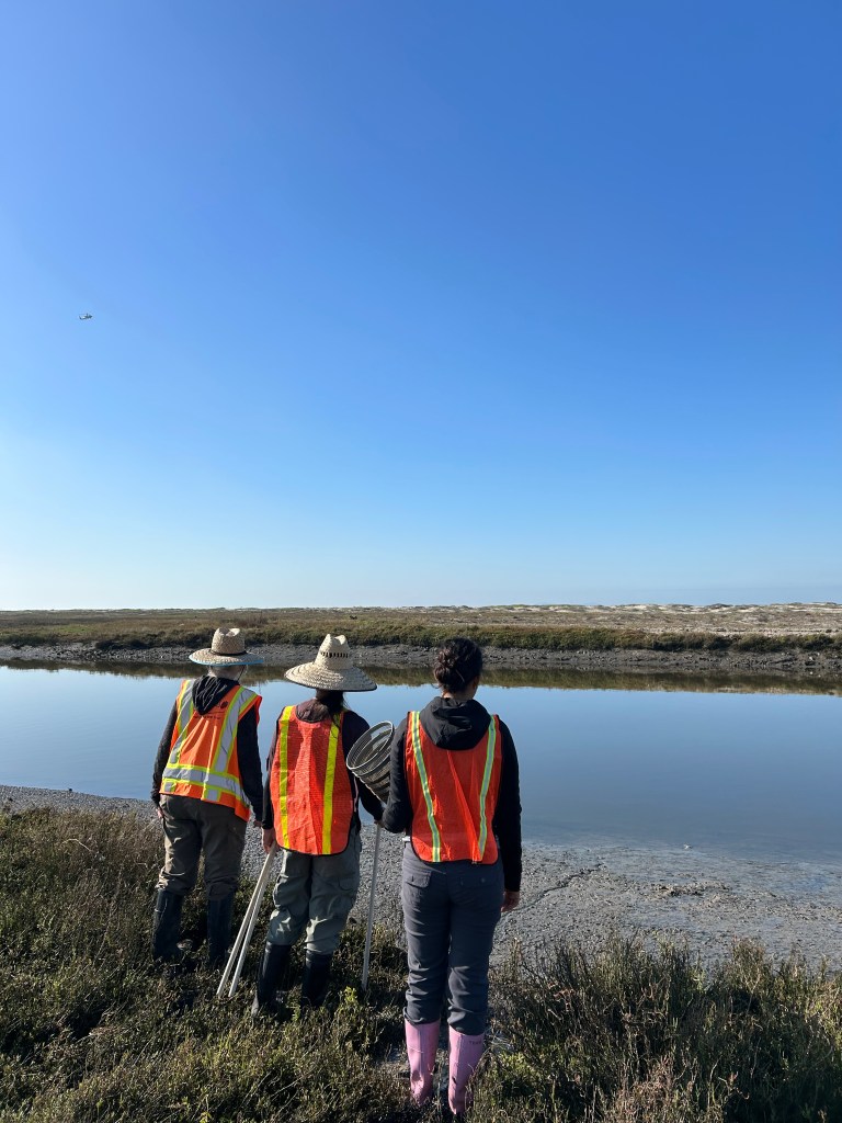
The types of field research I have assisted with include vegetation sampling, soil salinity sampling, Sedimentation Erosion Table monitoring (SETs), fish sampling, grunion monitoring, minnow sampling with traps, and rare plant species research.


Graphic Design
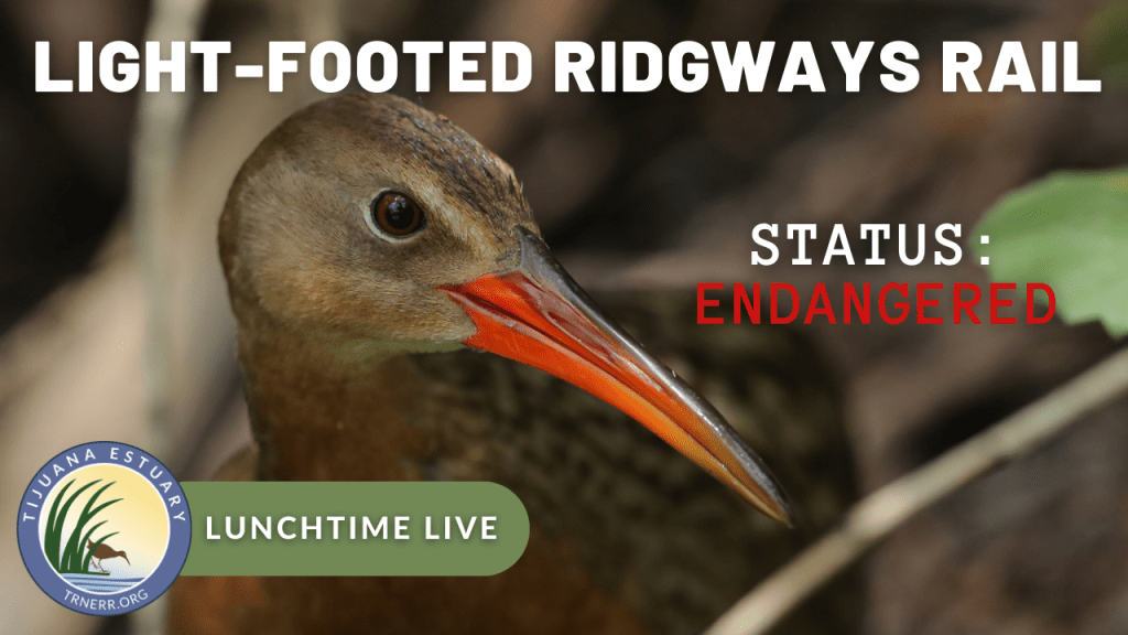
These are promotional and educational materials I have made for the Tijuana Estuary while working as a Park Aide for California State Parks.